
New Britain Neighbors: A Block-Level Source Map
Each source has one purpose. MapXpress supplies parcel shape and adjacent map objects. Vision supplies one parcel card. RecordHub can clarify a shared boundary, easement, legal description, or neighboring owner. Directories and census schedules add dated clues, while voter records and NRZ pages have separate limits. The table shows what a New Britain neighbor search can support.
| Source | What It Shows About a Block | Access |
|---|---|---|
| MapXpress parcel map | Boundaries, lot and address labels, adjoining MBLs, layers, and parcel clicks | Free public map; manual browse and click |
| Vision assessor | Owner or mailing card, value, building, sale, and ownership history for one parcel | Free public search; one parcel at a time |
| RecordHub deeds and maps | Shared boundaries, easements, legal descriptions, and neighboring owners | Free index and images; copy or certification fees |
| City and reverse directories | Dated occupants or telephone subscribers on a street or house number | Library, Library of Congress, or digital holdings; runs vary |
| Voter records | Public registration fields, district, and enrollment information subject to redaction | Secretary of the State or local route; no unrestricted block roster |
| North-Oak, Arch Street, and East Side NRZs | Verified civic zone names and a neighborhood-revitalization context | Official page; complete boundaries and association directory not located |
| Census, newspaper, and cemetery sources | Historical household, event, relative, and interment clues | Archive, digital, or on-site access; date limited |
Owner and occupant are different results. A Vision mailing address can belong to an agent, lender, estate, business, or owner of several parcels. A directory entry can be a subscriber, and a voter record does not list everyone at an address. Label source date and relationship before calling anyone a New Britain neighbor.
Mapping New Britain Neighbors Parcel by Parcel
MapXpress does not document a numeric radius or automatic people-within-distance tool. Its visible workflow is manual adjacency. Begin with the anchor, turn on parcel, lot, and address layers, and click outward one adjoining parcel at a time. The relationship stays visible and repeatable.
- Enter the anchor name, number, street, or parcel ID in MapXpress. Confirm street, map position, parcel, MBL or MBL2, and situs.
- Turn on parcel, lot, and address layers. Click each shared-boundary parcel and record direction, MBL, acreage, zoning, land use, sale or assessment fields, and public owner field.
- Open Vision for each parcel. Compare owner, mailing address, ownership history, book/page references, building details, and map notice.
- Use a deed or map image for a shared line, easement, subdivision lot, railroad, stream, or cross-street issue. An aerial alone is not proof.
- Label the relationship: boundary, cross street, same owner, same mailing address, same complex, or visual proximity. Save date and map screenshot.
- For every number on a named street, use the New Britain street directory instead of treating a block browse as a street roster.
MapXpress includes an AbutterDetail dialog, but no numeric buffer control was documented. Measurement tools can describe distance, yet a derived circle needs a stated method and current geometry. The reliable workflow is address, parcel, adjoining parcel, and source relationship.
The MapXpress adjacent-parcel map view shows the type of parcel-centered starting point used for this workflow.
Repeat the fields for each adjoining parcel so a boundary neighbor is not confused with a nearby address.
Building a New Britain Abutter Worksheet
A worksheet turns a visual browse into a source record. For the anchor parcel and every adjacent parcel, keep the direction or side, MBL, address or location, owner of record, mailing address, acreage, zoning or land use, sale date and price, year built, source date, last edit, and map screenshot. Add a note for a shared drive, easement, rail line, stream, complex, or lot-line question. A second note should say whether the link is direct adjacency, same owner, same mailing address, same complex, or only visual proximity.
Do not flatten the fields into one “neighbor” row. A shared mailing address can suggest common ownership, but not a shared household. A parcel can touch the anchor while its owner receives mail elsewhere, and a directory can place a subscriber at the number in an earlier year. Show which source supports each relationship.
Insider tip. MapXpress provenance includes edit type and source type such as deed, tax map, GPS, subdivision scan, road as-built, or correspondence. If a street number or boundary looks inconsistent, inspect that provenance before assuming that a person moved or that two parcels are the same.
New Britain Map Layers for Neighbor Research
The parcel map includes sidewalks, hydrants, sewer and storm systems, easements, zoning, railroads, trails, soils, water, aquifer, DEEP, FEMA, and aerial layers. Sales layers cover Grand List years 2021-2025, with aerials from 2012, 2019, and 2023. These explain changed lots or footprints but do not replace a deed survey or legal boundary.
MapXpress reports nightly property updates, parcel maps updated July 2026, and approximately 15,732 parcels. Vision uses the October 1, 2022 revaluation and Grand Lists through October 1, 2027. Record both timestamps beside an older directory or deed.
The MapXpress parcel-data downloads page explains the official data route and distribution limits.
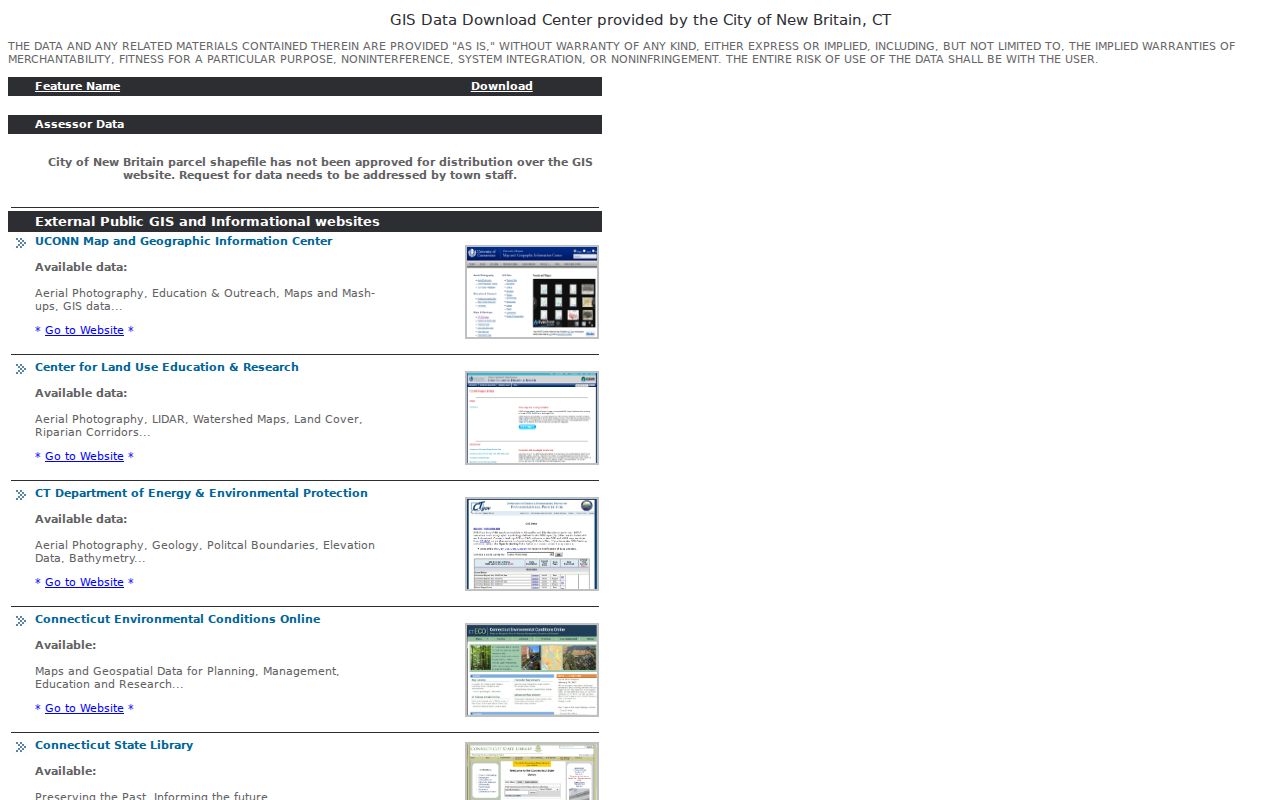
City parcel shapefiles are not approved for distribution. Use the public viewer or ask city staff for the proper data route. The viewer is not a legal survey.
New Britain Neighbors and Voter-List Limits
Connecticut registration records may show name, residence, district, party, enrollment, and participation fields, but not every person on a block. The 2026 guidance releases birth year only under PA 26-1 section 96; ID numbers, Social Security numbers, and unique identifiers are not public. Participation history does not prove present residence.
The Registrar of Voters is in City Hall Room 507 at 27 West Main Street, phone 860-826-3310, with listed Monday-Friday hours of 8:15 to 4 with ID. SOTS supplies the online route. A full statewide file needs a written request, $300 fee, and use certification, so it is not a casual block download.
Connecticut voter privacy, Safe at Home, and section 1-217 protections can substitute or suppress an address. A blank result is not proof that a person is absent. In July 2026 SOTS reported a TotalVote GIS upgrade, about 4,700 district corrections, and about 1,600 sliver-district records. A July 30 release described an innocent New Britain voter misidentified by a matching record. Verify name, address, district, and an independent source.
New Britain Neighborhood Anchors
The official New Britain Police NRZ page verifies North-Oak NRZ, Arch Street NRZ, and East Side NRZ. It describes the statutory process under Conn. Gen. Stat. sections 7-600 through 7-608 and points toward each zone’s social presence. It does not publish a complete association directory, boundary atlas, or contact set. Use the three names as verified anchors, not a complete neighborhood list.
| Zone | What Is Verified | Contact or Access |
|---|---|---|
| North-Oak NRZ | Named on the official New Britain NRZ inventory | Use the official NRZ page and its zone link; complete formal directory not located |
| Arch Street NRZ | Named on the official New Britain NRZ inventory | Use the official NRZ page and its zone link; complete formal boundary map not located |
| East Side NRZ | Named on the official New Britain NRZ inventory | Use the official NRZ page and its zone link; complete association contacts not located |
Do not infer NRZ membership from a ZIP code, ward, parcel value, or commercial map category. Ask the zone or city custodian for a current boundary or meeting contact.
The official New Britain NRZ page is the source for the three verified names.
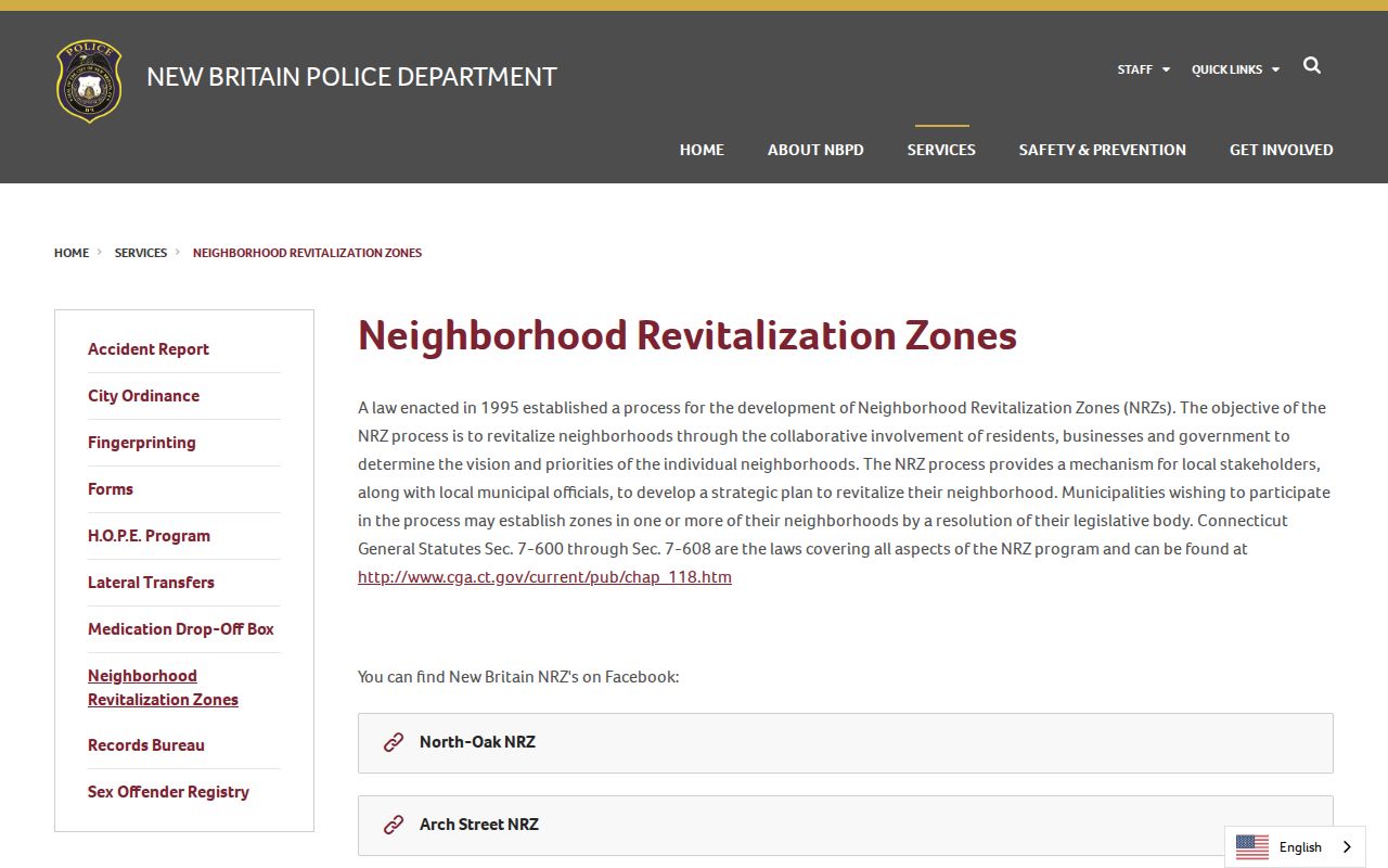
The boundary gap is part of the result: state what the official source names and does not publish.
Historical Clues for the New Britain Block
After mapping the block, search each street segment and cross street in city directories and newspapers, then use a reverse directory for the target number. New Britain coverage located through the Library of Congress guide includes 1984 and 1985; earlier telephone and printed directories can bridge gaps. Search the Herald and Heritage Hub by street plus surname, spouse, cemetery, business, or community term.
Historic deeds may name adjacent owners when the modern number fails. The 1912 map is a period street-grid reference, not title. Fairview can add parents, maiden name, spouse, section, block, lot, veteran, undertaker, and late-residence clues. Date and label each clue.
CCSU Polish Heritage, Elihu Burritt, library, and Industrial Museum materials supply spelling and company pivots. A matching surname is not enough. Preserve the page image, directory year, deed page, or official result.
Compare Official and Commercial Neighbor Leads
Source classes produce different leads. Official rolls tie a record to a parcel, district, or dated publication. Commercial neighbor tools may combine old addresses, marketing data, inferred relationships, and public fragments, but date and relationship can be hard to inspect. Verify a category result with a custodian or map-based abutter check.
| Source class | Useful signal | Limit to record |
|---|---|---|
| MapXpress and Vision | Parcel, owner or mailing fields, map position, sale and assessment history | Owner is not occupant; mailing address is not situs; map is not a legal survey |
| Voter records | Public registration fields, district, party or participation history | Redactions, privacy programs, date limits, and no complete household roster |
| Directories and archives | Dated subscriber, occupant, family, newspaper, or cemetery clue | Runs vary; OCR and historical address changes can mislead |
| Commercial neighbor category | Possible lead from assembled or inferred address data | Source date, relationship, accuracy, and lawful use may be unclear; verify independently |
For a block question, official does not mean complete and convenient does not mean verified. Preserve the distinction and stop when the source cannot support the relationship being claimed.
New Britain Neighbor Privacy Limits
Public systems do not provide a general list of household members, utility subscribers, delivery recipients, or protected participants. Vision can show an owner’s mailing address, MapXpress parcel fields, and a directory a telephone subscriber. These relationships should not be merged into a household claim.
Connecticut’s Address Confidentiality Program, voter privacy, section 1-217, vital-record, and motor-vehicle rules can remove or substitute information. The Connecticut Data Privacy Act does not turn every public record into a neighborhood roster. A protected address may be absent by design.
Privacy and lawful use. Use a New Britain neighbor lookup for getting to know a block, reconnecting with family, local history, or personal safety awareness. Do not use public records to stalk, harass, intimidate, or follow a person. If a source is protected or incomplete, leave it out rather than trying to reconstruct it.
Document the anchor, adjacent parcel, relationship label, source date, and confidence. Omit unnecessary detail and distinguish public, inferred, historical, and private information.